The southern portion of the Okanagan Valley is classified as semi-arid desert, but last year’s extreme drought combined with the 10-day cold snap we had in January did a lot of damage. Nevertheless. recovery is happening.
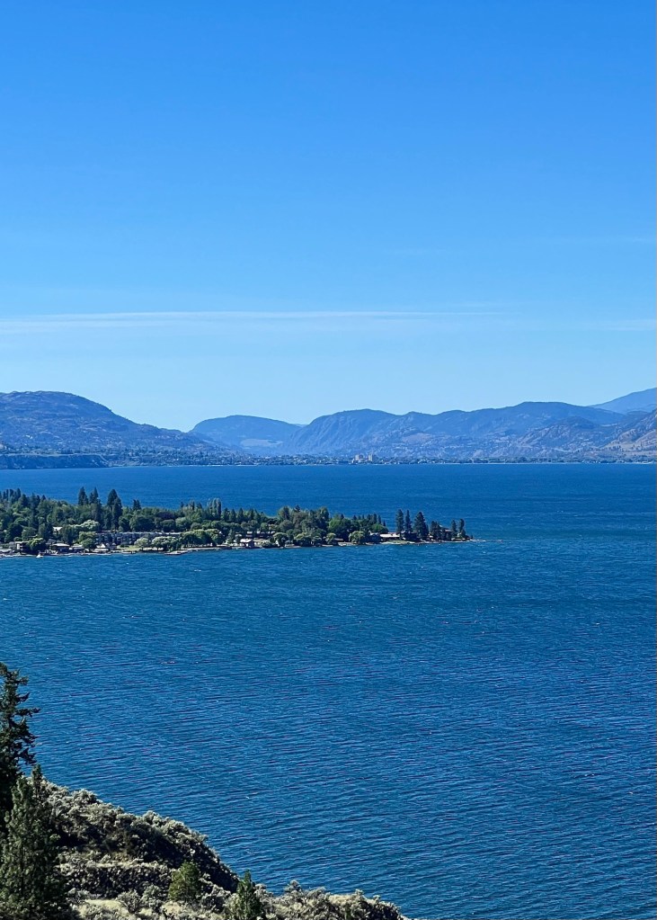
The Okanagan Valley near Oliver, with Osoyoos Lake in the background.
Many of the grape vines were affected by both the drought and the cold snap, as were the stone fruit orchards such as peaches, plums and apricots. Everywhere I looked, I could see many fields being replanted under the new agricultural guidelines while other fields are clearly being left, at least for this year.
A mixture of grape vine and cherry tree fields, while others are lie fallow.
The area is definitely not as lush as it has been in the past, but with new farming approaches and hopefully, more stable weather patterns, there will be a return to something of its former self.
The KVR (Kettle Valley Railway) Trail is a former passenger and freight rail line that was active throughout much of the British Columbia interior from 1915 up until 1989.
View towards Penticton from the KVR Trail.
After the old rail line was closed, the bed was turned into a hiking/biking/walking trail. It’s possible to take this trail from Penticton to Kelowna, a distance of 80 km (50 miles).
View northward towards Kelowna from the KVR Trail.
We have walked various parts of it, but since we don’t camp any more (I don’t think I would be able to walk the next day – sleeping on the ground is no longer in my wheelhouse!), we have never completed the entire stretch on foot. In order to see all of this piece of the trail, we decided to use our truck. (Off-road vehicles are permitted on this portion.)
A view of the William R Bennett bridge across Okanagan Lake with Kelowna to the right.
The views on this beautiful day were marvellous and we were glad we were able to see this entire section; it was rather wonderful.
As I mentioned in that post, we were in for a bit of a surprise. We left Húsavík and while on our way to Akureyri thought that the weather was improving.
We had a booking for whale watching the next day, but during the night, the predicted storm started giving us quite a shellacking.
Awakened by the wind at about 3:00 a.m., M looked outside to check on the weather (that far north it was still light out) and saw that the snow was blowing parallel to the ground with gusts of about 80 km (50 miles). Our whale watching was a definite cancel, but we were worried about getting back to Reykjavik for the day after, and anxiously kept track of road conditions for the following 24 hours.
But none of what we were seeing on the Icelandic highway app was reassuring: gusts to 90 km (56 miles), ice pellets, snow, freezing rain, temperatures around +1-2C (33-35 F), completely perfect conditions for dangerously ice covered roads with obscured visibility.
We awoke bright and early the next morning to find that the main route – highway one – to the south was closed in at least two places.
We went to breakfast to drink coffee and to think this one through. There were things on our side. We’re very experienced in winter driving conditions and have literally seen it all, including driving through the Rocky Mountains during a December ice storm. We had rented a four-wheel drive manual which gave us some snow clearance and traction, and lastly, we had the time to drive very slowly.
We decided to take the chance: the road closure was 1.5 hours away, and we thought that clearing and sanding might have occurred by the time we got there, given that this is the main highway. We pulled out of Akureyri with a stockpile of trepidation and all the supplies we would need to wait out the storm in our vehicle if necessary.
At first, it wasn’t too bad, but then we had this:
The snow ruts were ice encrusted and caused pulling to the left or right if we had to move out of them. This is actually a two-lane highway, but with all the snow buildup, you wouldn’t know it.
When we arrived at the first closed section, snow clearing had already occurred and the road was open once more, but then we also started descending from the highlands, and within 30 minutes had much better conditions.
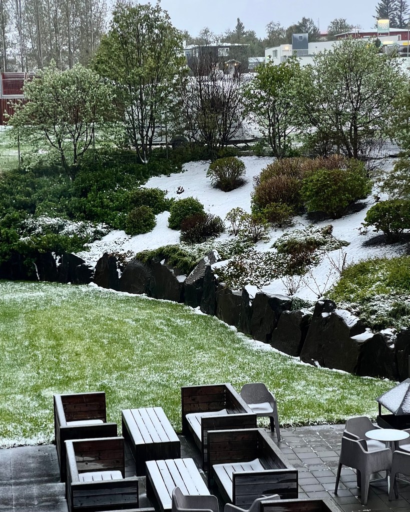
We were delighted to get out of that weather, and the further south we went, the better the weather became.
When we stopped to stretch our legs and pry our tense fingers off the steering wheel, we were even rewarded with a foss, or waterfall.
I hope you enjoy this lovely post from Christie at 1000 Places and Memories. Please click the link above to read the whole post and to view her pretty wren photos and short videos.