Tag Archives: Landscapes

From Muncho Lake to Fort St John

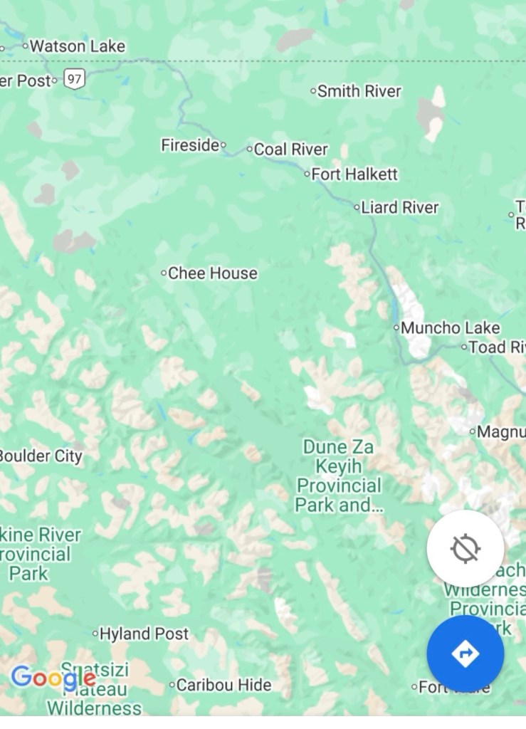
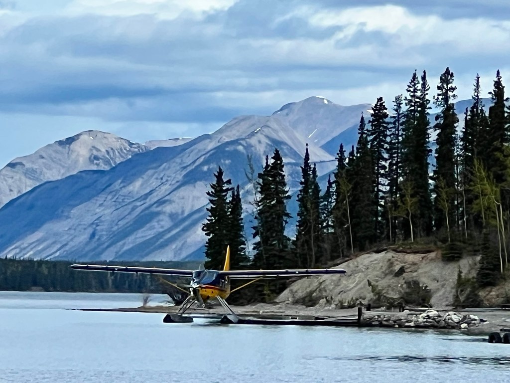
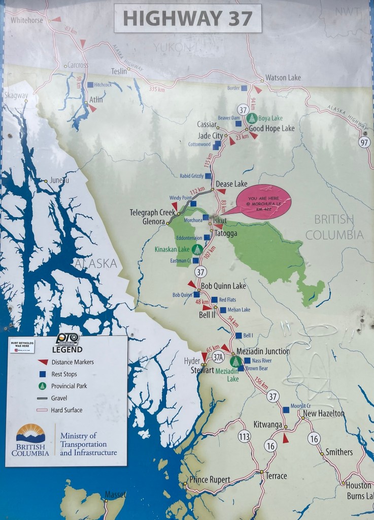
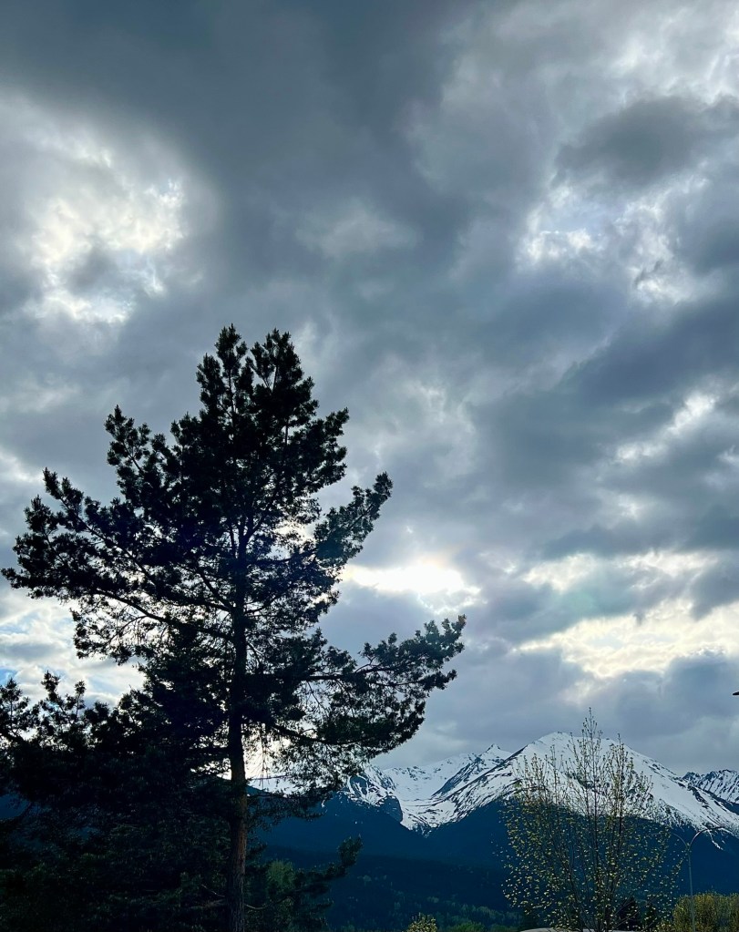
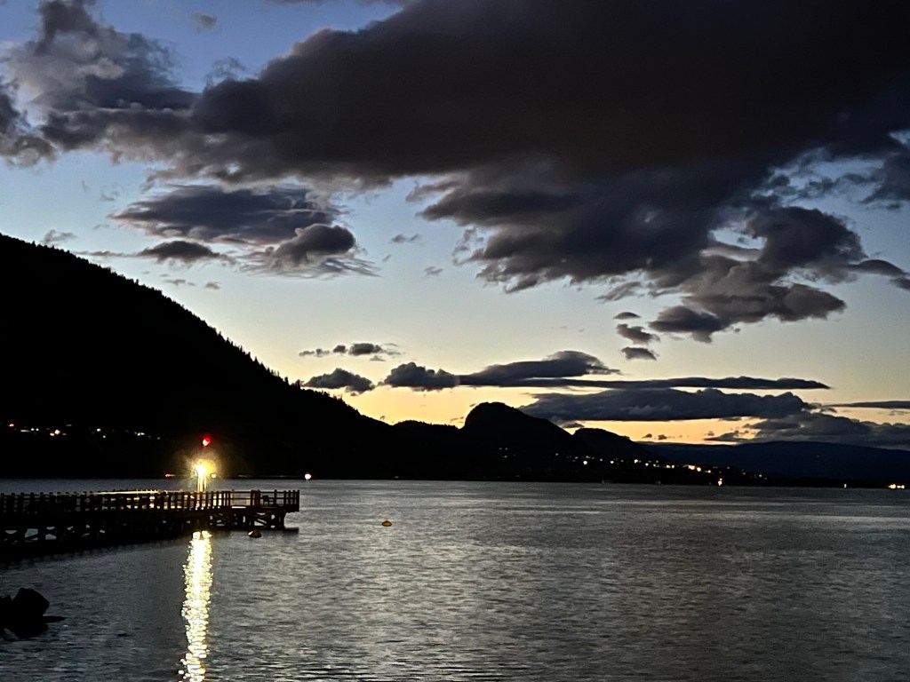
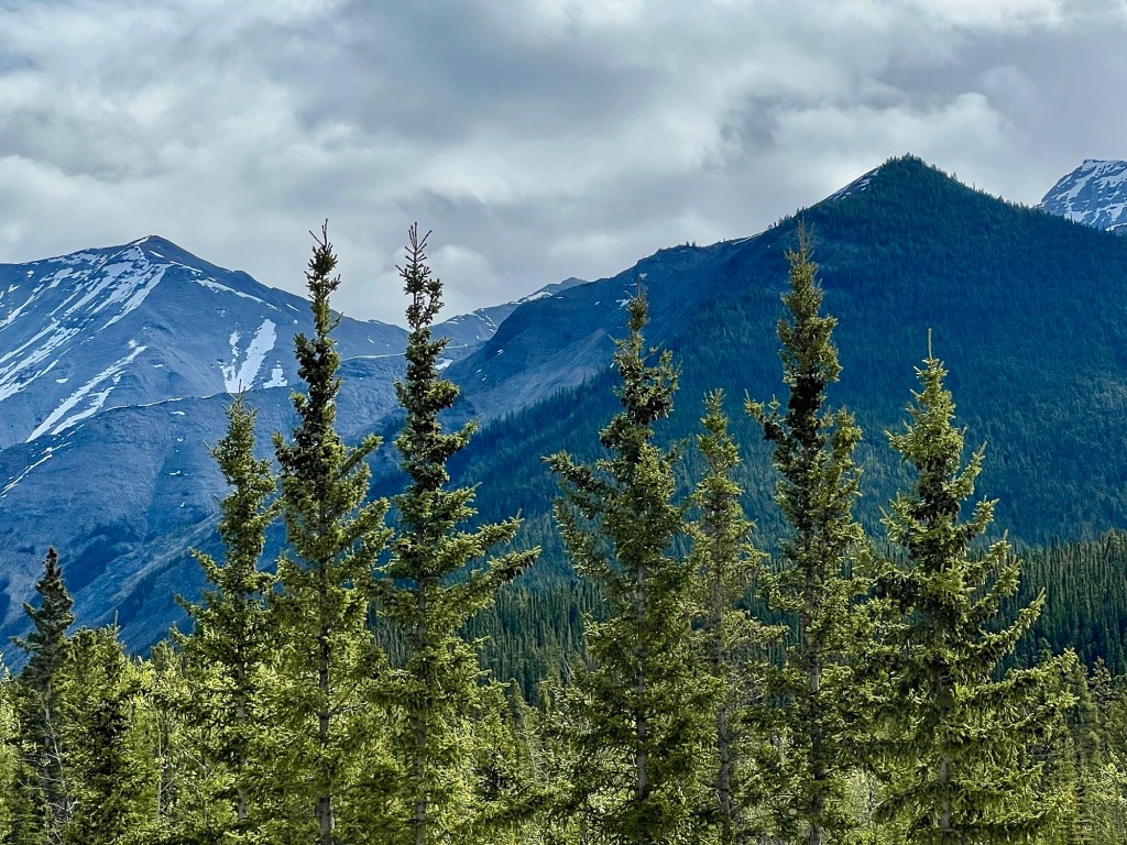
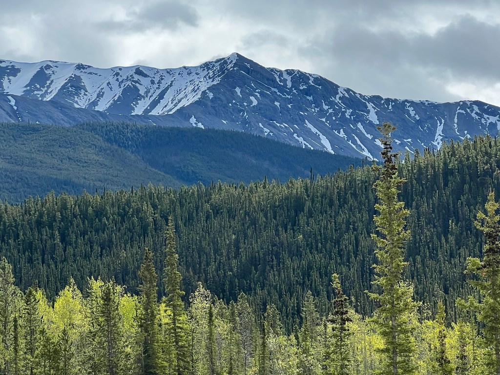
The next leg of our trip took us from Muncho Lake to Fort St. John, a six-and-a-half hour journey that we broke up by stopping to take walks and also to admire the magnificent scenery along this route (highway 97 or also called the Alcan or Alaska Highway).

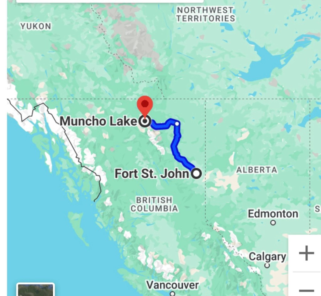
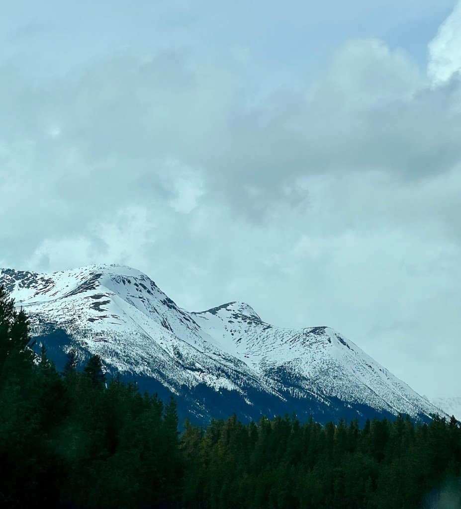
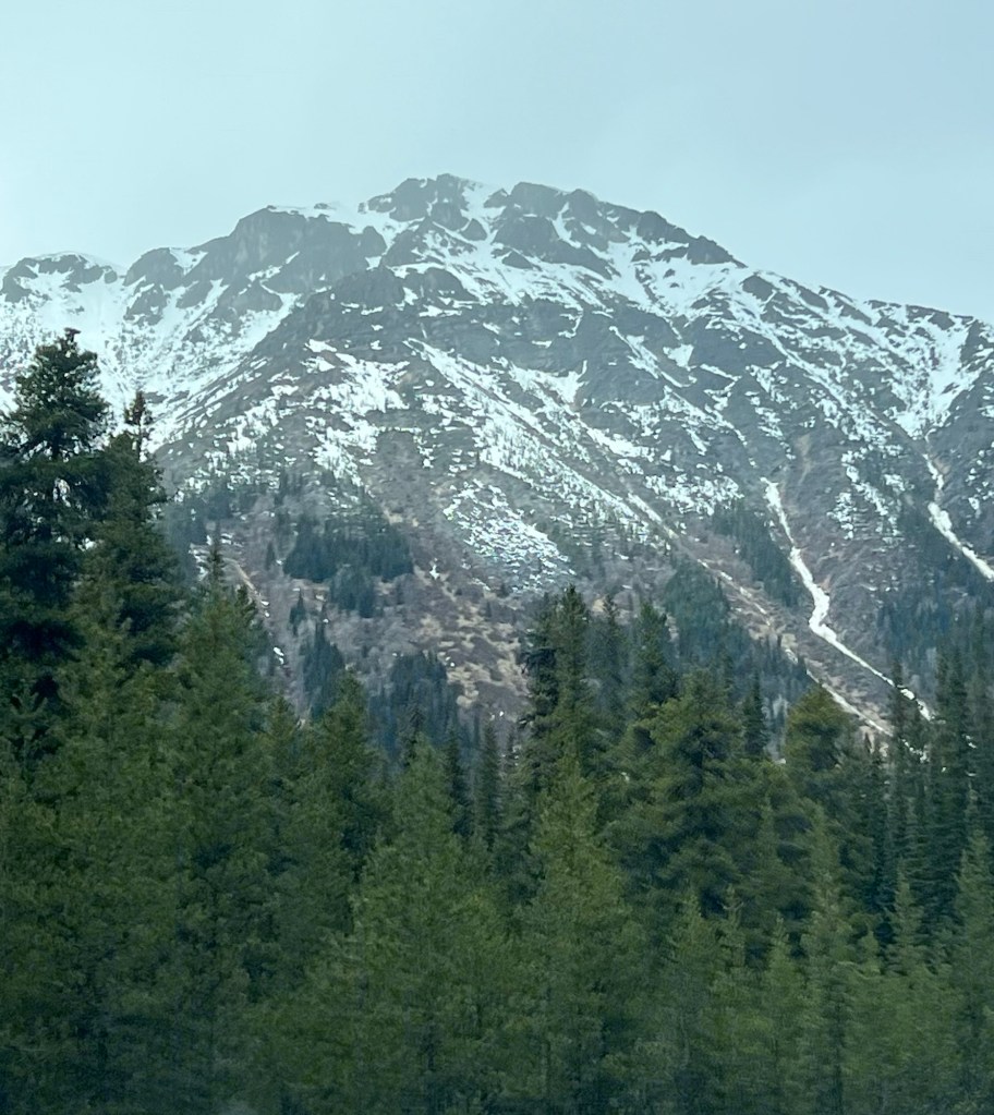
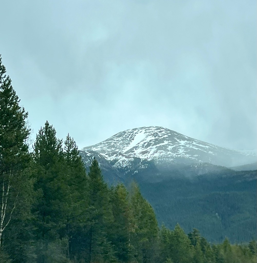
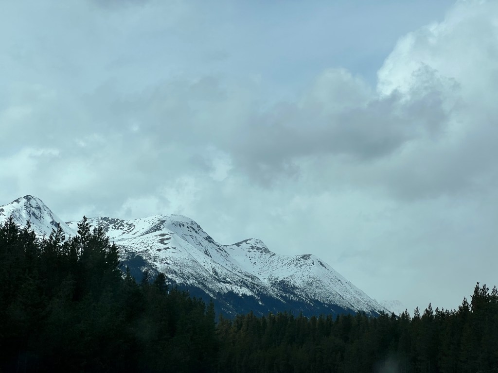
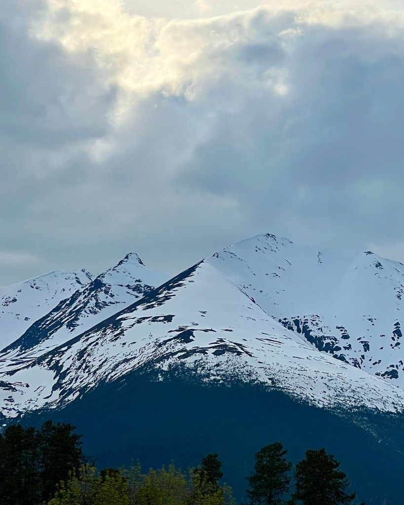
Because there are so many beautiful natural sights, you will need to stop often to really do them justice …

… but I have learned over the years how to take pictures from a moving vehicle, too (not while driving, though!).

That said, stopping is best, both to stretch your legs as well as to see all these stunning natural wonders.

A beautifully glacial green reflection isn’t to be missed.
The light green of new leaves provide a strong contrast to the dark conifer trees.
A rugged ravine points to the changing nature of the area.
Undulating low mountains with the Northern Rockies in the distance exemplify this land’s remoteness and expansiveness.

The next day found us arriving at one of Canada’s gems, Jasper National Park, so there are more posts coming about that beautiful part of the world. That said, any visit to Jasper also includes a look at the terrible destruction caused by the forest fires that started there in late July, 2024.

Muncho Lake

After we enjoyed the hot springs at Liard River, we stopped at Muncho Lake Lodge for the night. We had a great dinner and more fantastic views.

Amazingly crystal clear, Muncho Lake is a feast for the eyes. Can you tell if this photo is upside down or not?

Actually, it’s right side up; you can see some irregularities in the reflection if you look carefully. Nevertheless, that’s a fantastic mirror image of some of the Northern Rocky Mountains, isn’t it?

Muncho Lake, like many of the Rockies’ lakes, is green. Caused by glacial sediment, some lakes can also be various shades of cobalt blue interspersed with green. That green shade isn’t evident in the first picture because of the light’s angle refracting from the lake’s surface.

No photoshopping; no dye! It’s just green.
A float plane parked at Muncho Lake Lodge; a fine piece of Canadiana.

The next day we stopped in Fort St. John, after having travelled much of the stunningly beautiful highway 97 (Alcan or Alaska Highway), so there is another post coming about the fantastic sights we were able to experience during that fantastic drive.

Liard River

The Liard River is one of the more major rivers in northern British Columbia.

As we left Yukon and began to drive south on highway 97 (also known as the Alcan Highway or Alaska Highway), we paralleled it for some time before it made its way east.

Before that, however, we stopped at the Liard River hot springs for a dip. I was glad that we didn’t have far to go afterward because following that appealing break we were very, very relaxed!

On our way into the hot springs we saw loads of lovely wild violets.

Rugged and swift, the Liard River is a part of highway 97’s extremely scenic landscape and with the added bonus of lovely natural hot springs, our first day’s drive on this route was wonderful.

Northern Rocky Mountains

There’s more to come from this spectacularly gorgeous drive. I thought that the Stewart-Cassiar highway was at the top of the heap for beautiful drives, but highway 97 is right there, too!

Northern Mountains

During our trip through northern British Columbia and into Yukon we have seen some beautiful mountains and mountain ranges.

This is part of the Coast/Central Mountain range that bisects British Columbia. We paralleled or drove around much of this range while en route to Yukon on the Stewart-Cassiar Highway. I love the pea green, new deciduous growth that we saw everywhere. Spring is definitely later in the north.

We experienced quite a few showers interspersed with sunny periods, but saw that a lot of snow was still falling at the higher elevations.

Neither M nor I had ever driven this route – the Stewart-Cassiar Highway (highway 37) – before and found it spectacularly beautiful. The Coast/Central Mountains aren’t as tall or rugged as the Rocky Mountains but still breathtaking. It’s well worth the drive and if you’re inclined, there are lots of opportunities for camping, hiking and fishing.

Highway 37 goes north from the junction with highway 16 just west of Prince George and Hazelton and is a total of 725 km (450 miles).

Below shows the highway’s terminus at the Yukon boundary.

This highway is very remote and there’s no cell service (except emergency), but we found that quite attractive. If you’re interested in this trip, here’s a website that might be helpful.

https://www2.gov.bc.ca/gov/content/transportation/driving-and-cycling/traveller-information/routes-and-driving-conditions/highway-37-stewart-cassiar

Happy Monday.

Be Beary Careful!

We saw this very healthy-looking but groggy guy while stopping for a break on the Cassiar Highway.

We were careful and stayed in our vehicle but we did enjoy observing him. This yearling was eating a plant that he seemed to like a lot but also appeared to be very sleepy. This far north (60° north latitude) the bears haven’t been awake from their winter slumber for very long.

Happy Sunday.

Cassiar Highway

We have finished the 855 km (531 miles) Smithers, B.C. to Watson Lake, Yukon, leg of our trip via the Cassiar Highway (highway 37).

We experienced quite a number of rain showers broken by sunny periods but that didn’t dampen the beauty of this route. It’s one of the most stunning that you will find anywhere. We at first paralleled the Central Mountains but after turning a few more degrees due north, we drove through them for about 600 km. (373 miles).

We didn’t stop to do much hiking or walking through this portion of our trip but there are many opportunities for that and of course, there are lots of places to camp or to stay at a lodge.

As long as you are aware of and cautious about bears, there are many, many outdoor activities to be enjoyed in this area of the country.

Here’s a rest area sign showing details of the Cassiar.

Happy Saturday.

Coastal Mountains

We are almost 1100 km (684 miles) north of our home in Penticton and on our way to Watson Lake, Yukon, to see a good friend of ours.

Watson Lake is pretty much due north of our stop for the night in Smithers, B.C. which is marked on the map by the red pin. We have about another 890 km (553 miles) to go.

We have been passing the spectacular Coastal Mountain range and marvelling at their impressive beauty; we will see more of them as we travel further north.

Here, spring is about a month behind the development that has already occurred in Penticton; all the deciduous trees are wearing very new, pea green leaves and the mountains are still liberally topped with snow.

That’s it for now; more to follow later. Happy Friday.

Wonderful Little Things

A sundowner …

… over a gorgeous lake …

… with the comfort of Night’s soft cloak on the way …

… a frothy yellow flower brightening the day …

… and sunny respites with blue skies and clean water …

… a multitude of wonderful little things …

… to remember as we navigate this difficult world …

… so many of us so privileged.