Unusually for January, our temperatures have been slowly rising to where we’re in the double digits. 10, 11, 12C (50, 52, 53F). Quite comfortable and sunny, but I hope this doesn’t mean that we’re going to get storm slammed later!
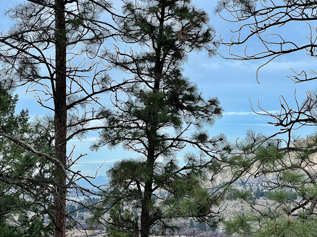
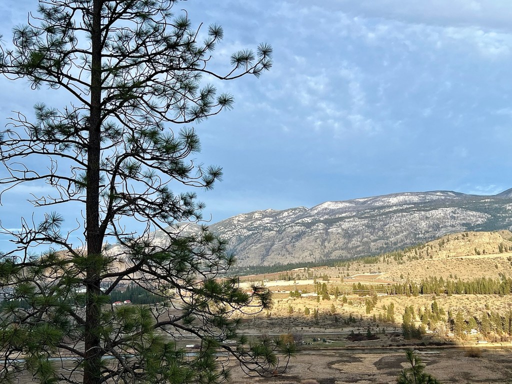
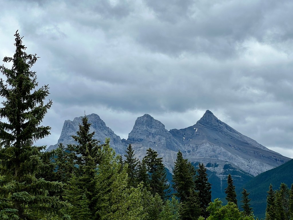
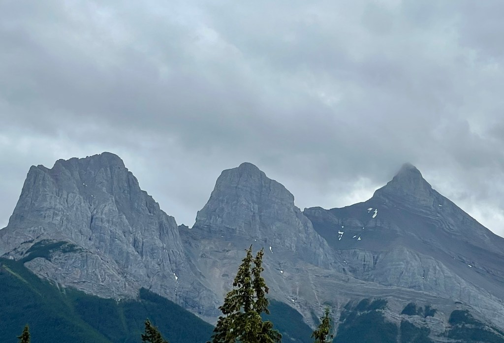
We took advantage of the good weather for a ramble in the mountains to the south of us.
We didn’t climb too high in elevation because we wanted to stay below the snow line, but we were definitely high enough to enjoy the views.
A beautiful mountain photo from Allan at Allan J Jones Photo Blog. I hope you click the link above to see more of Allan’s stunning landscape photos of his home, Washington state.
The answer to that question is a resounding yes! Although in the summer of 2024 Jasper National Park suffered a terrible forest fire that resulted in the destruction or serious damage of a third of the townsite and the loss of 325 square kilometres (202 sq miles) of park forest, it is recovering well and appropriately.
Rocky Mountains in the distance.
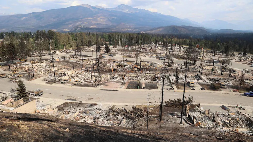
When we recently visited we saw that all heavily damaged buildings or the remains of destroyed buildings, vehicles, and other items have been removed from Jasper townsite and rebuilding and new construction are moving along at an accelerated pace. Other than the lots made vacant by the fire (and that are now being prepped for reconstruction) there is little evidence that a major fire occurred.
Jasper, August 1, 2024. Photo courtesy of Parks Canada
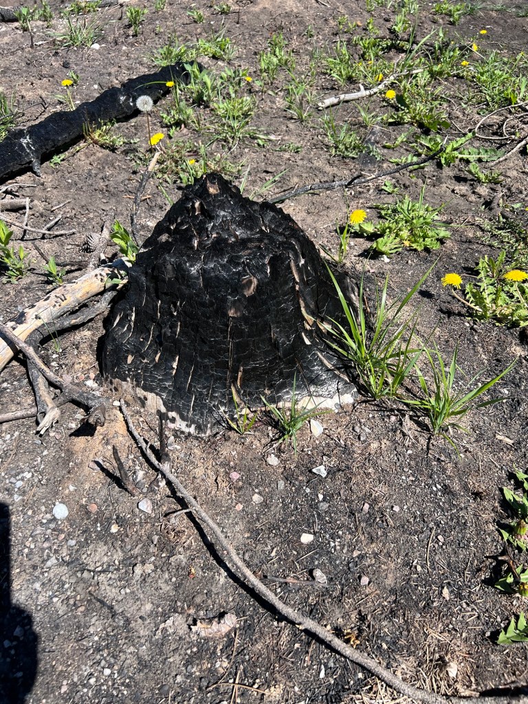
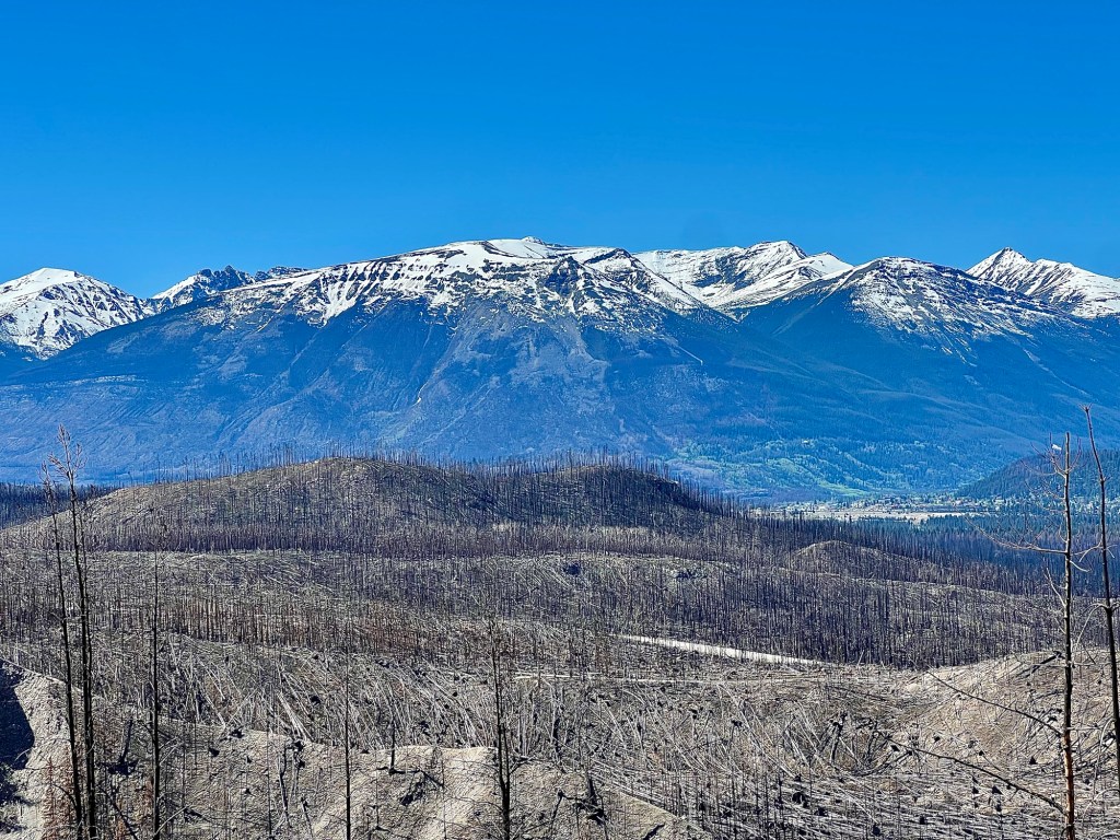
Some parts of the Maligne Lake area of Jasper Park were very significantly damaged with, in some areas, trees completely destroyed right down to the ground.
No ash, no burned trees left, only stumps.
The fire was at times so hot that it generated its own weather system, a swirling tornado of flames, gases and heat. Essentially, many of the trees were cooked until nothing was left.
A large area of burned forest.
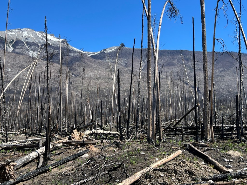
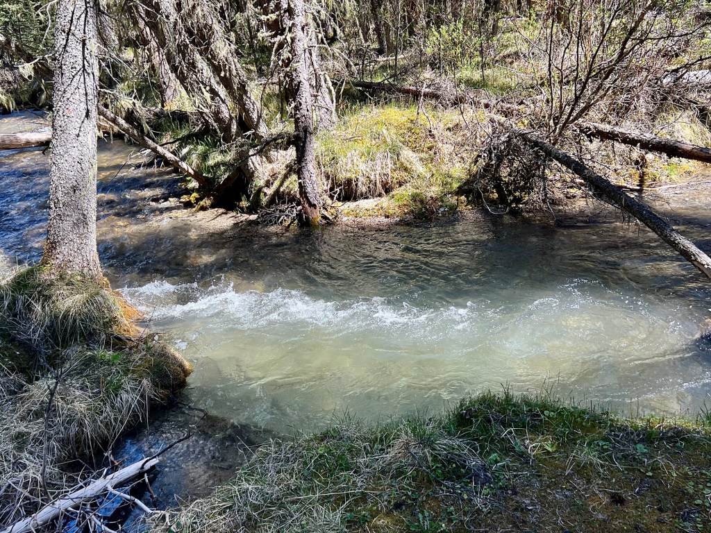
When we visited in late May/early June, a few of the trails remained closed due to fire damage and unsafe conditions. However, the vast majority of the trails, even through the burned areas, are open. Hiking through the burned areas is also an education about the forces of nature: we saw grasses, wildflowers, weeds, and even very tiny trees growing again; the forest will recover.
This photo gives a sense of how far the fire extended as well as a contrast with the healthy forest in the background.
Many people have thought that they shouldn’t visit Jasper this year, that it’s perhaps too soon. But the people of Jasper townsite and the employees of the park, hotels, restaurants, outfitters and all the others who rely on tourism for their livelihood will welcome you. They have worked very hard to prepare the townsite and to reopen the trails, and of course, the vast majority of the national park escaped the fire. 95% of it is as beautiful and iconic as ever.
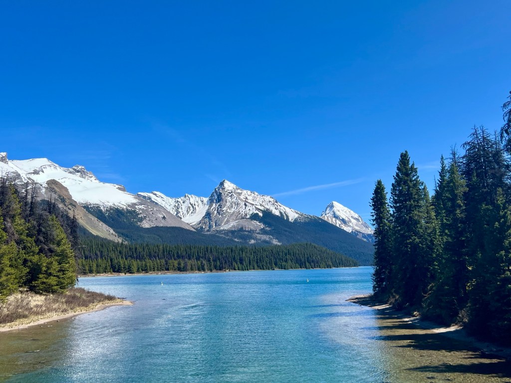
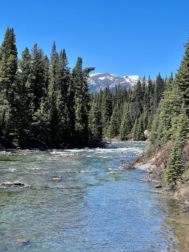
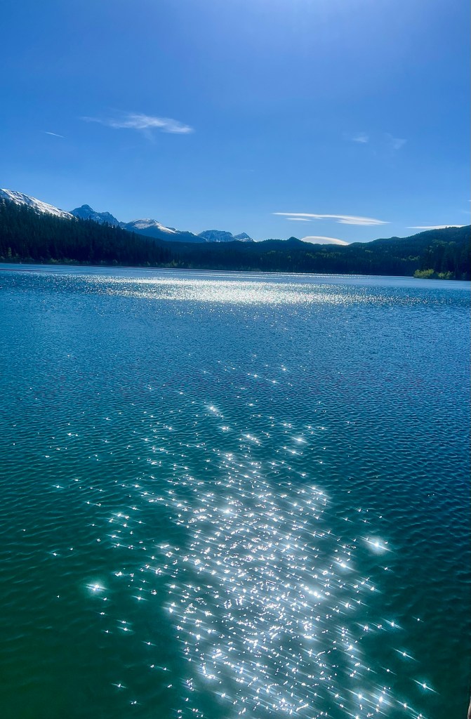
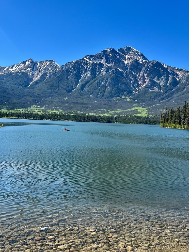
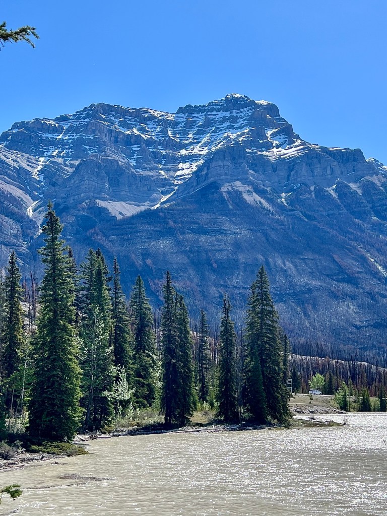
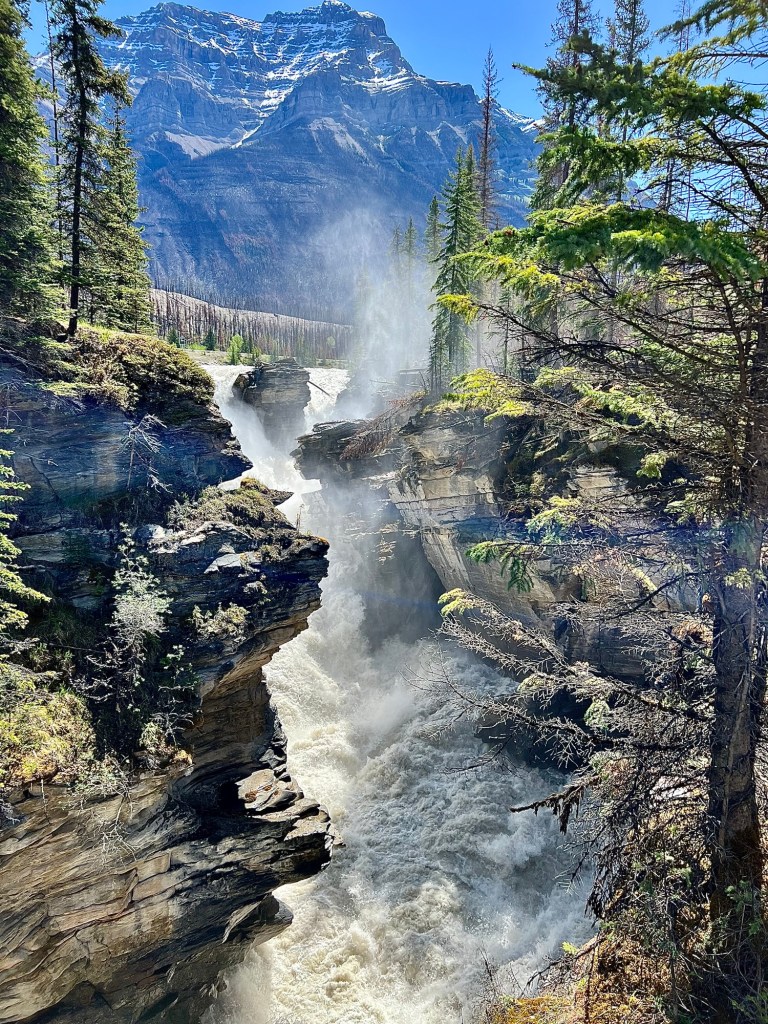
Here are a few of those iconic views.
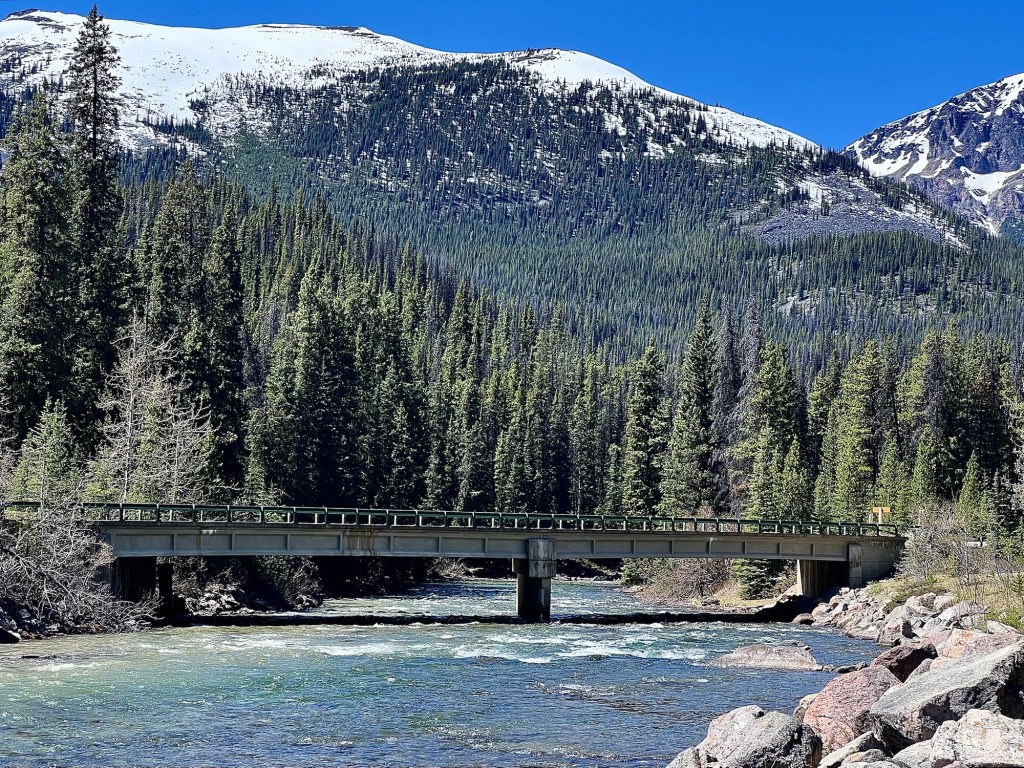
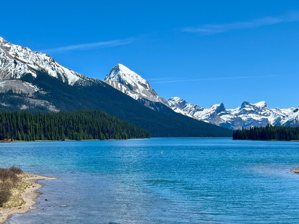
Maligne Lake Maligne RiverPatricia LakePyramid Lake Athabasca River Athabasca Falls
We very much enjoyed our visit and felt that spending our money there was well worth it so yes, if you’re thinking of going, you should.
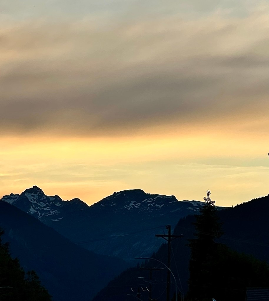
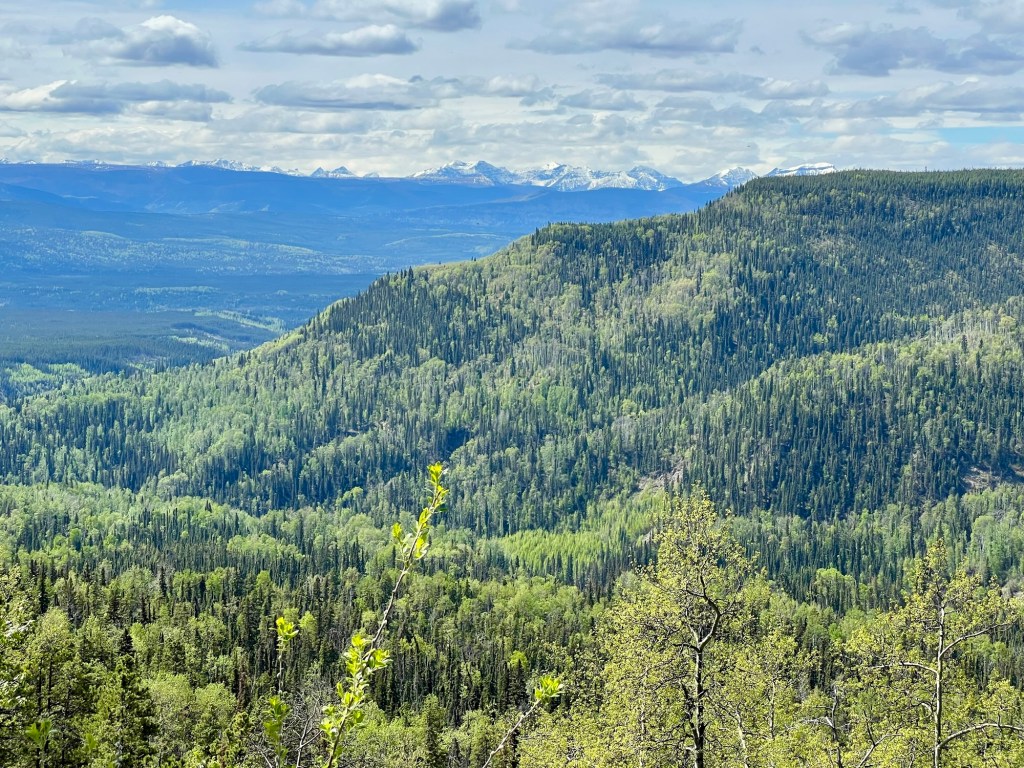
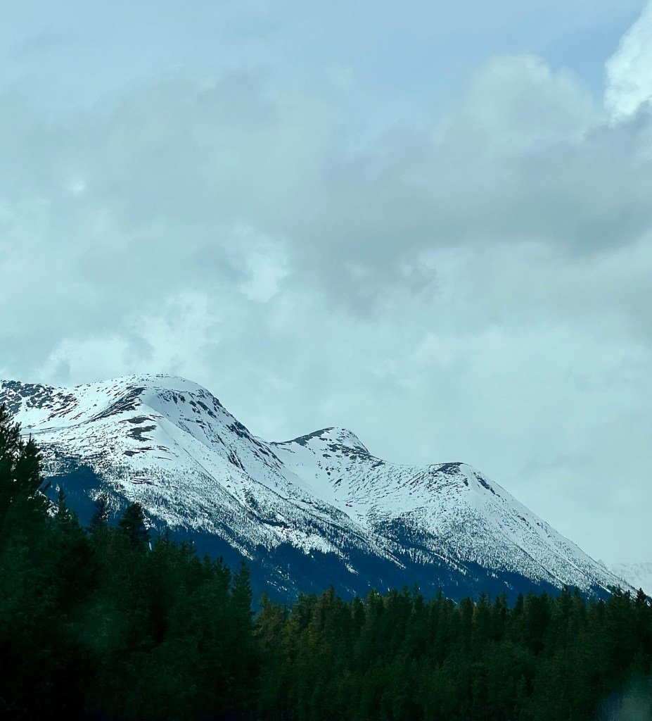
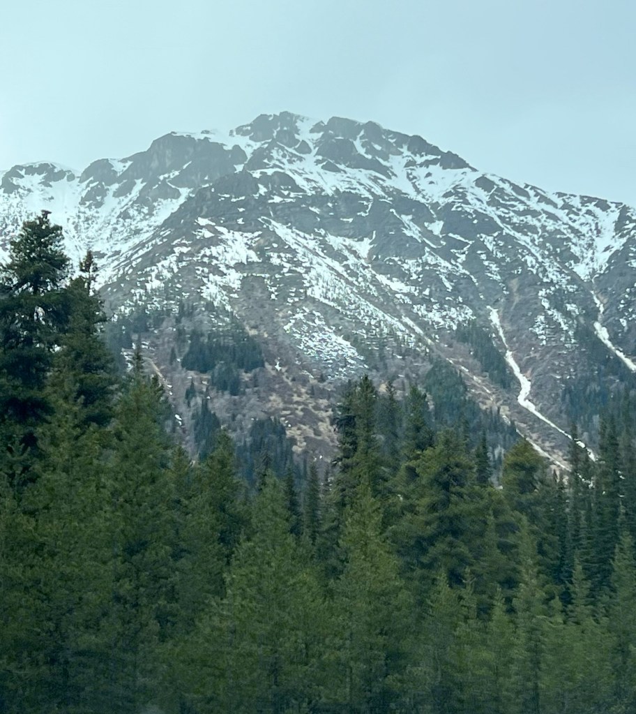
During our trip through northern British Columbia and into Yukon we have seen some beautiful mountains and mountain ranges.
This is part of the Coast/Central Mountain range that bisects British Columbia. We paralleled or drove around much of this range while en route to Yukon on the Stewart-Cassiar Highway. I love the pea green, new deciduous growth that we saw everywhere. Spring is definitely later in the north.
We experienced quite a few showers interspersed with sunny periods, but saw that a lot of snow was still falling at the higher elevations.
Neither M nor I had ever driven this route – the Stewart-Cassiar Highway (highway 37) – before and found it spectacularly beautiful. The Coast/Central Mountains aren’t as tall or rugged as the Rocky Mountains but still breathtaking. It’s well worth the drive and if you’re inclined, there are lots of opportunities for camping, hiking and fishing.
Highway 37 goes north from the junction with highway 16 just west of Prince George and Hazelton and is a total of 725 km (450 miles).
Below shows the highway’s terminus at the Yukon boundary.
This highway is very remote and there’s no cell service (except emergency), but we found that quite attractive. If you’re interested in this trip, here’s a website that might be helpful.