The Bulkley River of northern British Columbia is a major tributary to the much larger Skeena River – I’ll post pictures of the Skeena later; it’s huge.
Bulkley River with the Hazelton Mountains in the background. Rapids on the Bulkley River.
This river is greenish-grey which indicates that it’s fed by glaciers and their forceful runoff. The colour comes from pulverised rock particles that absorb and scatter sunlight; the rivers and lakes near the Rockies are an impressive bluish-green.
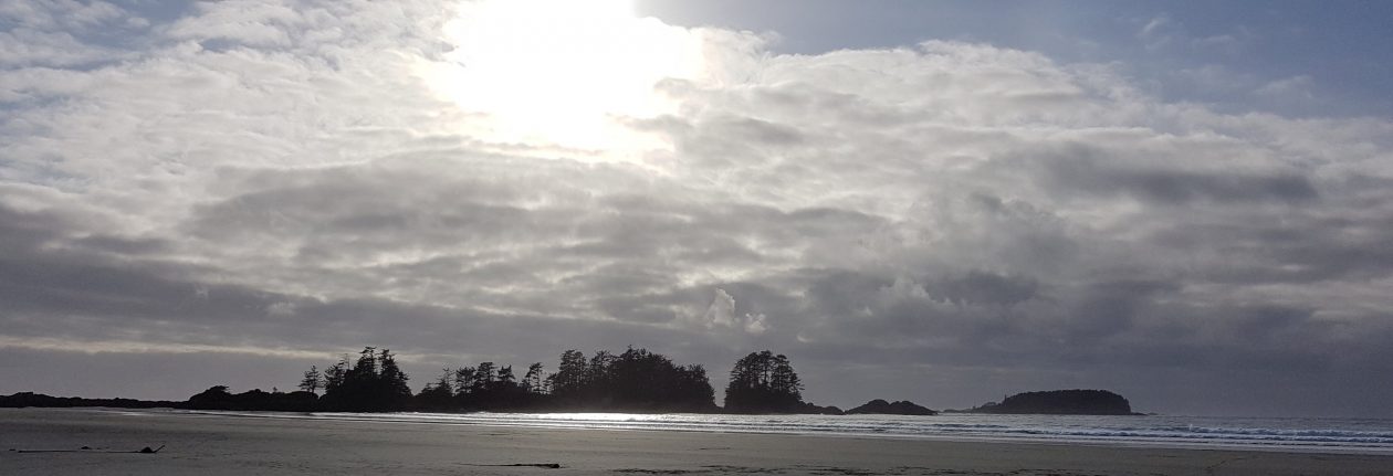
We recently left Penticton, British Columbia en route to Haida Gwaii, an archipelago off the northern Pacific coast and the home and ancestral territory of the Haida First Nation. Getting there would take three driving days and one ferry.
Haida Gwaii
After stopping for the first night in Prince George, we continued on to Smithers.
Smithers
Smithers is near the Hazelton Mountains which are a sub-range of the larger Coast Mountains. In winter there’s a lot of good downhill and cross-country skiing and in summer the hiking is fabulous.
Hazelton Mountains
After a decent night’s sleep we drove to one of the peaks and found a good hiking trail.
As we neared the trail head the temperature went down to 24 C (75 F) from 33 C (91 F) in the town of Smithers below. It was a much appreciated break from the heat wave we’ve been experiencing all over British Columbia.
M scoping out the trail.
Being able to enjoy the trail in much cooler temperatures was a real plus.
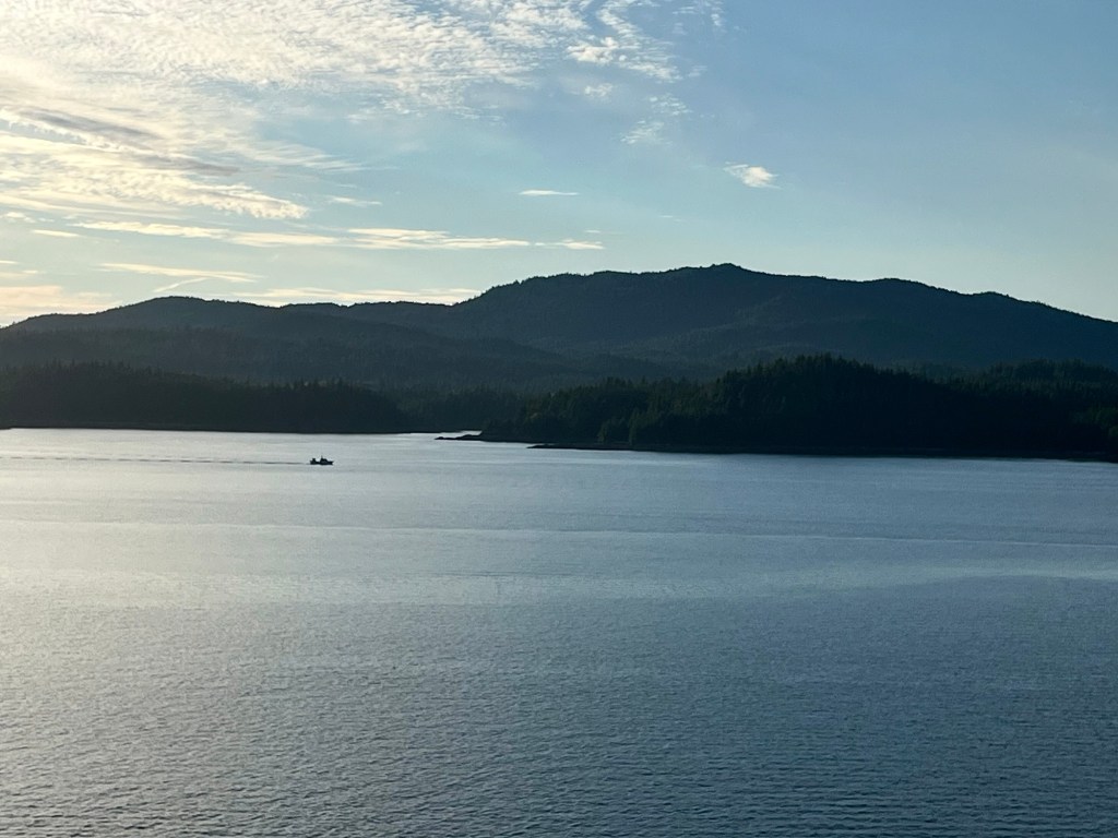
From Smithers all the way to the coast, the forest is lush, dense and beautiful. This is because even though Smithers is fairly far north, its climate is mitigated by the temperate rainfall from the Pacific Ocean which leads to these lovely, almost-rainforests.
There were a number of powerful glacier-fed waterfalls on our route that we stopped to admire.
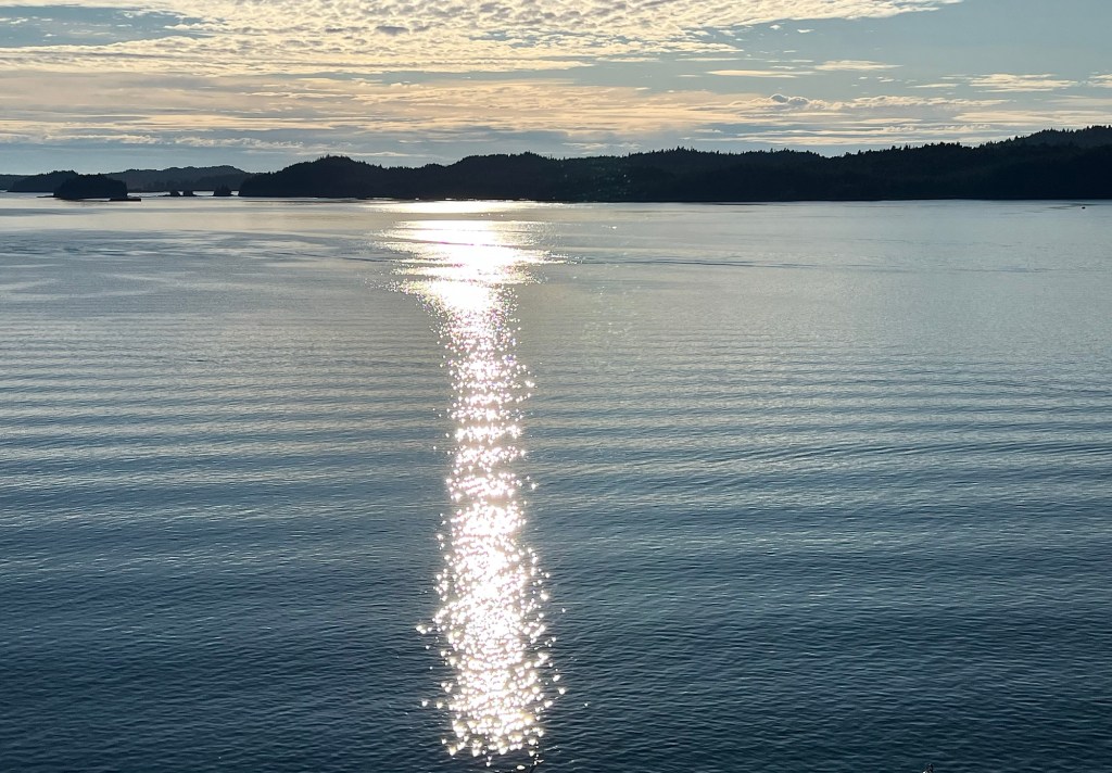
All too soon we needed to return to our vehicle to continue our drive to Prince Rupert and the coast. Our ferry booking for the sailing to Haida Gwaii was coming up next.
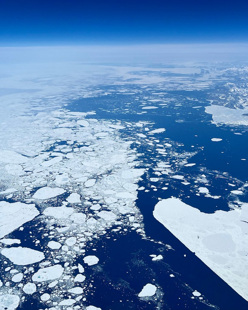
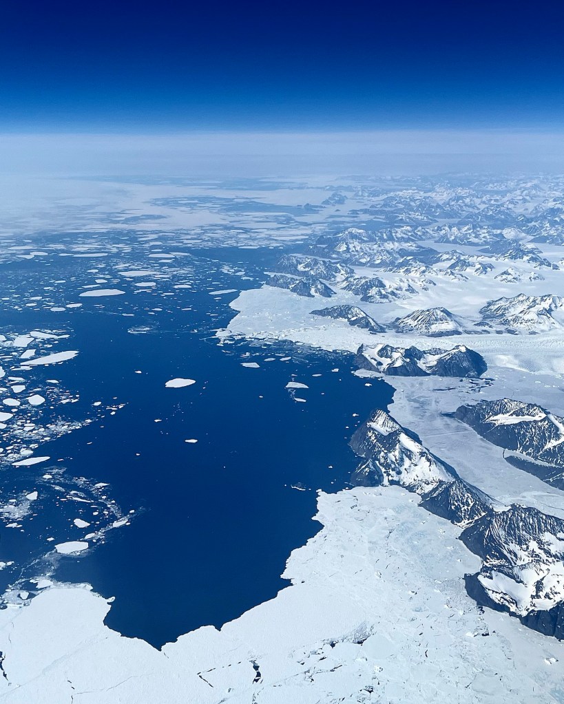
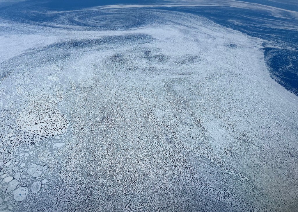
We had beautifully clear weather on our flight from Iceland to Calgary and as we reached the eastern Greenland coast, we had excellent views of the Greenland glaciers. At first we saw many ice pans in their spring break-up but as we travelled closer to the coast, the glaciers appeared.
From 9750 metres (32,000 ft) these ice pieces look rather benign, but they are huge and among them there are gargantuan icebergs.
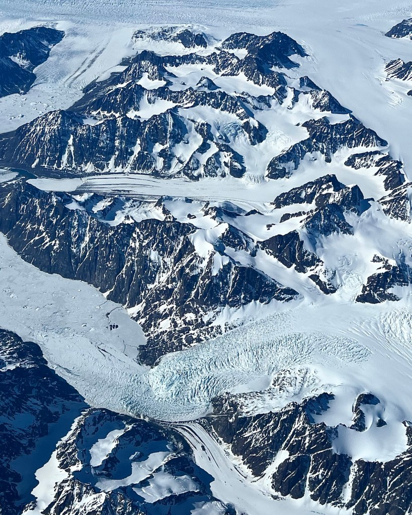
As we flew further west, we began to cross Greenland itself and could see its glaciers.
They resemble rivers and in fact they move like slow motion rivers as they work their way toward the ocean.
You can see the movement of these ice rivers in their corrugated appearance as they advance over cliffs and into the valleys between mountains.
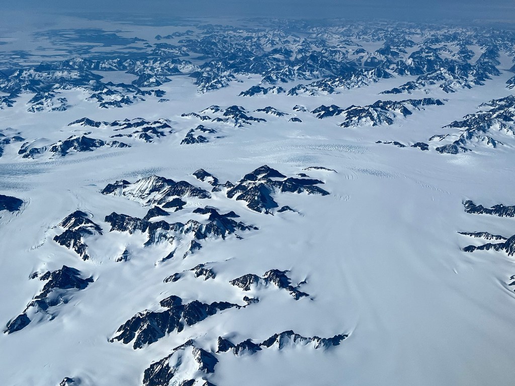
Further inland, the glaciers are covered in snow and are not quite as visible, but they are there.
Last week I posted pictures of the Greenland spring sea ice break-up that you can see here.
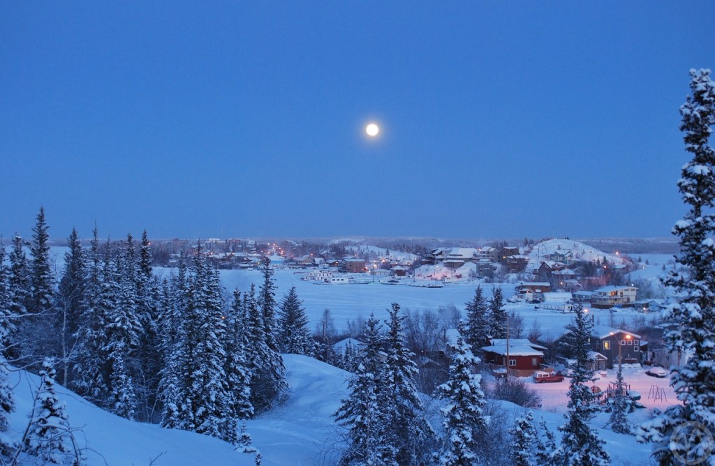
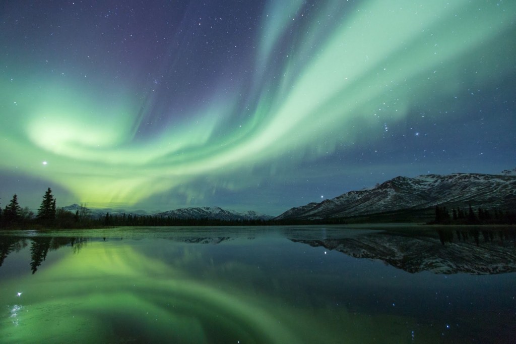
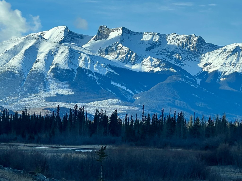
Okanagan Lake, British Columbia Winter in Yellowknife, Northwest TerritoriesA canola field, AlbertaTobermory, OntarioPacific Ocean, British ColumbiaAurora Borealis, Northwest Territories Rocky Mountains, Alberta
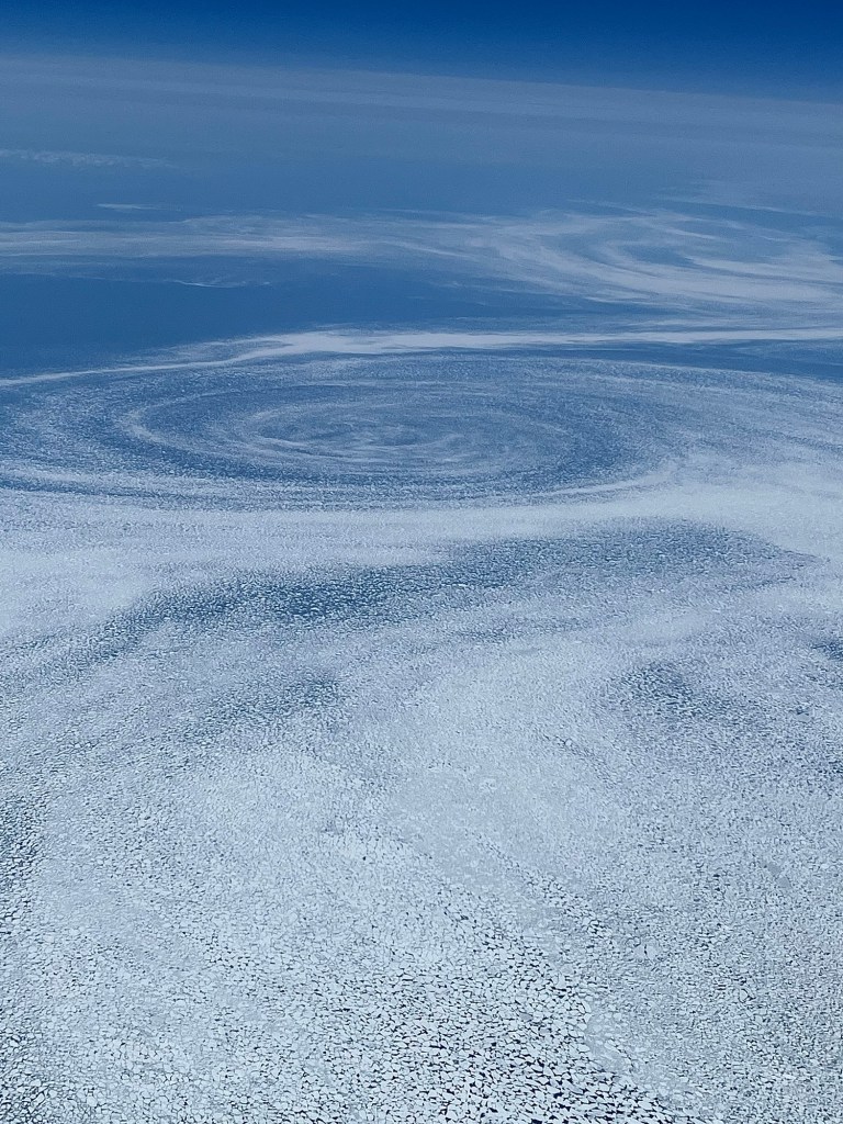
We had beautifully clear weather on our flight from Iceland to Calgary and as we reached the eastern Greenland coast, we had an excellent view of the sea ice fields in their spring break-up.
You can easily see the movement of the ocean currents …
… and we were intrigued by these interesting spiral patterns, but I was unable to find an explanation for them.
There’s no doubt that among these pans are huge icebergs; many of them will make their way down the Newfoundland coast before melting in those warmer waters.
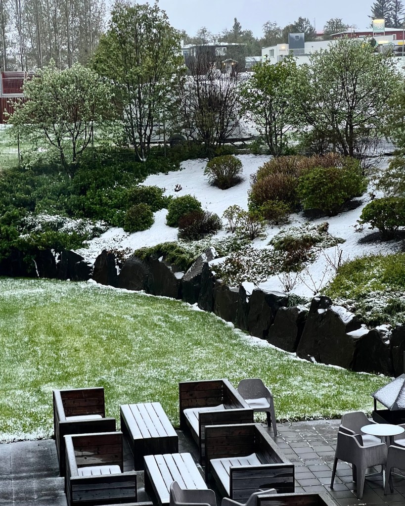
As I mentioned in that post, we were in for a bit of a surprise. We left Húsavík and while on our way to Akureyri thought that the weather was improving.
We had a booking for whale watching the next day, but during the night, the predicted storm started giving us quite a shellacking.
Awakened by the wind at about 3:00 a.m., M looked outside to check on the weather (that far north it was still light out) and saw that the snow was blowing parallel to the ground with gusts of about 80 km (50 miles). Our whale watching was a definite cancel, but we were worried about getting back to Reykjavik for the day after, and anxiously kept track of road conditions for the following 24 hours.
But none of what we were seeing on the Icelandic highway app was reassuring: gusts to 90 km (56 miles), ice pellets, snow, freezing rain, temperatures around +1-2C (33-35 F), completely perfect conditions for dangerously ice covered roads with obscured visibility.
We awoke bright and early the next morning to find that the main route – highway one – to the south was closed in at least two places.
We went to breakfast to drink coffee and to think this one through. There were things on our side. We’re very experienced in winter driving conditions and have literally seen it all, including driving through the Rocky Mountains during a December ice storm. We had rented a four-wheel drive manual which gave us some snow clearance and traction, and lastly, we had the time to drive very slowly.
We decided to take the chance: the road closure was 1.5 hours away, and we thought that clearing and sanding might have occurred by the time we got there, given that this is the main highway. We pulled out of Akureyri with a stockpile of trepidation and all the supplies we would need to wait out the storm in our vehicle if necessary.
At first, it wasn’t too bad, but then we had this:
The snow ruts were ice encrusted and caused pulling to the left or right if we had to move out of them. This is actually a two-lane highway, but with all the snow buildup, you wouldn’t know it.
When we arrived at the first closed section, snow clearing had already occurred and the road was open once more, but then we also started descending from the highlands, and within 30 minutes had much better conditions.
We were delighted to get out of that weather, and the further south we went, the better the weather became.
When we stopped to stretch our legs and pry our tense fingers off the steering wheel, we were even rewarded with a foss, or waterfall.
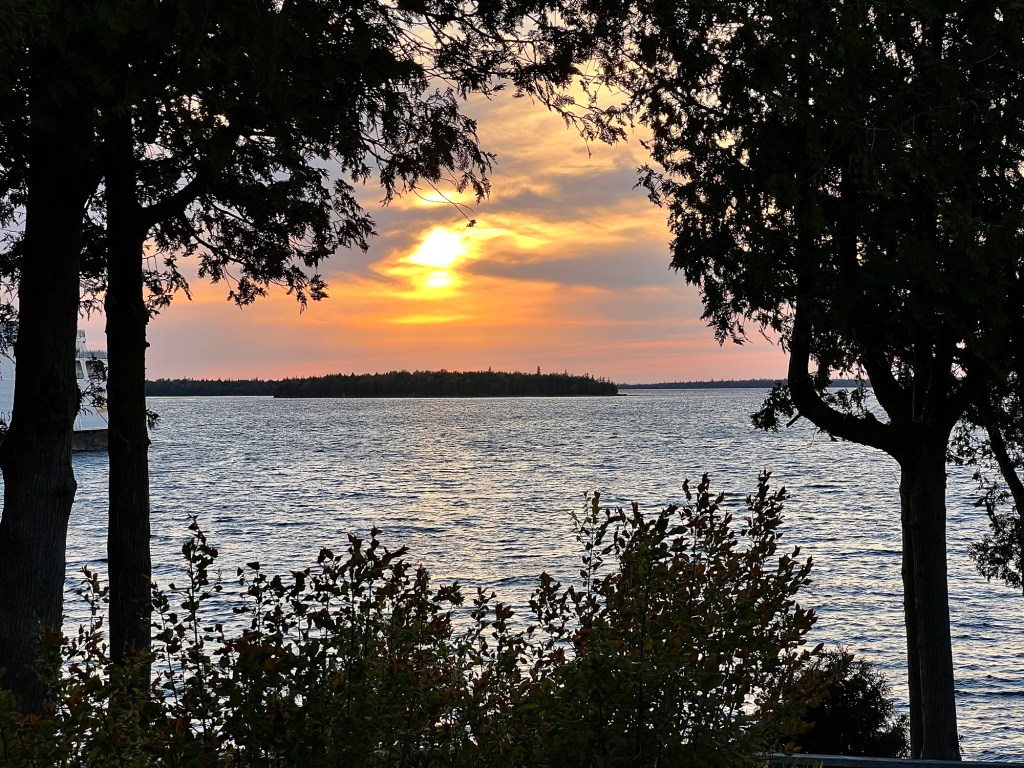
When we stopped for a little hike while on our way to Sault Ste Marie, we spotted the pretty little town of Spanish below the trail bluffs.
It’s protected a bit from Lake Superior because it’s on an inlet, a good thing since storms on this lake can be rather nasty.
It was still a bit early for the marina to be populated with boats but it wouldn’t be long.
We had a beautiful vantage point over the lake and the little town; the trail was quite a nice one if rather buggy. We had to really keep moving to stay ahead of them.