We arrived on the archipelago of Haida Gwaii after a very smooth ferry crossing from Prince Rupert.

The distance looks a bit deceptive but we were also crossing the Hecate Strait, an area of ocean that can live up to its namesake, so caution is required, even in the summer.

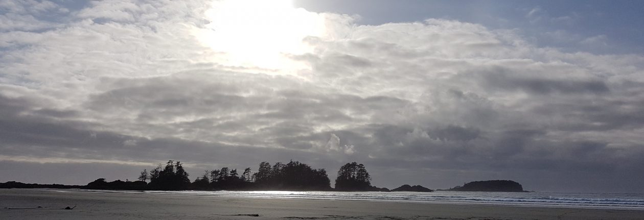
We spent our first few days in Masset at the northern end of Haida Gwaii and explored lovely beaches and many trails through the rain forest.

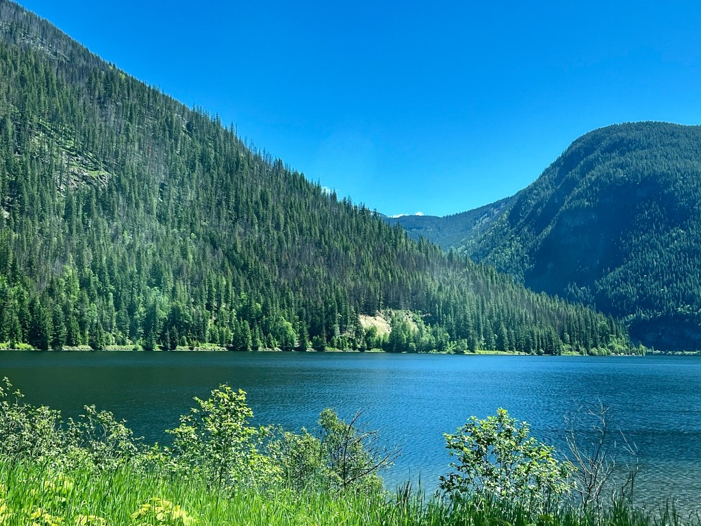
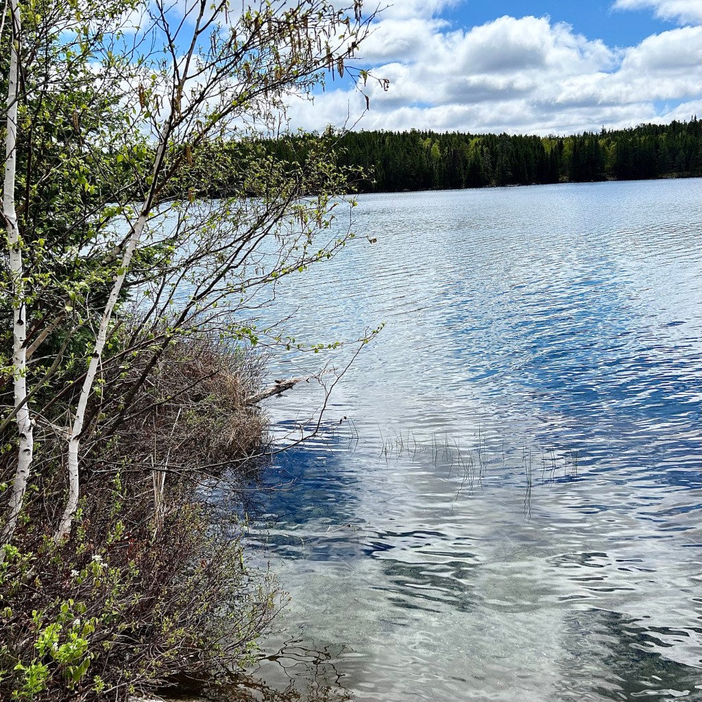
Haida Gwaii sits in a very temperate weather zone; it’s almost a “Goldilocks” location. It’s never too hot; never too cold, despite its more northern location. It’s lush, verdant, stunningly beautiful and very, very green with lots of huge old growth trees everywhere.

Near the ocean, we frequently found moss encrusted trees with huge ferns growing on the forest floor in this natural ode to recycling. Old trees die, fall, and then provide nutrients for the next trees and other plants.

There were many of these “nursery stumps” with new trees growing from the old ones.

More will follow later.
Happy Tuesday.